Northern Ireland's government recreates its country in Minecraft
Ordnance Survey replicates nearly 14,000 square kilometers.
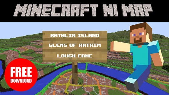
Northern Ireland's government, in an attempt to simultaneously seem hip and educational, has recreated its region in Minecraft.

Finance minister Arlene Foster commissioned this project as a free download for PC and Mac versions of Mojang's popular construction game.
True to scale, this educational mod was developed using Land & Property Service's Ordnance Survey NI (OSNI) digital mapping data. Comprised of more than 5B blocks representing 12.5 square metres each, this mod spans across nearly 14,000 square kilometers.
"The Minecraft game has been hugely successful across the world, not least with our young people in Northern Ireland," Foster stated in the mod's announcement. "This exciting new development will allow people here to play the game across all of Northern Ireland, in places that are familiar to them. Gamers can have a go at building structures including the Giant's Causeway, the Marble Arch caves, their school or even their own house!"
"It's important to recognise that this is about more than just playing a game," the minister added. "Minecraft inspires a high level of engagement and creativity in young people and it is an excellent tool for teaching children about a wide range of topics including geography, science, technology, engineering and computer coding."
This isn't the first time Ordnance Survey has recreated real-life locales in Minecraft. Last year its Great Britain branch recreated England, Wales and Scotland in the popular building game.
If you ever wanted to explore Northern Ireland's topography without spending money on a plane ticket and lodgings, you can check out the Minecraft replica of it here.


